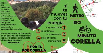
Metro/biciminuto is a map that measures real distances among the key points of a city, town or village and specifies the time in minutes to walk and bike these distances. It’s a a new sustainable mobility idea that was created in Pontevedra in 2013. The concept has spread all around Spain and the world since. […]
Metrominuto
And our next project is… metrominuto!!
Three of our Erasmus students have just embarked on a new exciting adventure: metrominuto. Metrominuto is a map of a town or city where key places are highlighted and colourful lines connect those places. Metrominuto looks like an underground or tube map but the lines represent the shortest way to move between the most important […]


